Correction (3 October 2026): an earlier version of this page listed places and details we could not stand behind. It has been rewritten from scratch: every place below was confirmed at two independent sources between 2 October 2026 and 3 October 2026.
Each park is first a location on the map, so we begin there, then turn to whatever the official pages state about it. Six parks cleared our two-source check: four in Boronia, Tim Neville Arboretum in Ferntree Gully, and the Ferntree Gully Picnic Ground in Upper Ferntree Gully. That makes this a list “in and around Boronia”.
The sources are Knox City Council’s parks pages, Parks Victoria and OpenStreetMap. The council gives most reserves as a location, not a street number, and publishes no opening hours for its local reserves, so none are stated for them. The two bigger places, the arboretum and the national park picnic ground, have hours quoted from their own pages.
The quick picks
| If you’re after | Head to | Where |
|---|---|---|
| A playground with public toilets and an outdoor gym, per the council | Tormore Reserve | Tormore Road, Boronia |
| A council park with a playground | Chandler Park | Chandler Road, Boronia |
| A reserve with a playground at the south end | Currawa Reserve | 69 Currawa Drive (south end), Boronia |
| A creek, a basin and remnant bush | Old Joe’s Creek Retarding Basin | Army Road, Boronia |
| A lake, rose gardens, a fenced playground and free barbecues | Tim Neville Arboretum | 100 Dorset Road, Ferntree Gully |
| The 1000 Steps walk and a picnic ground | Dandenong Ranges National Park (Ferntree Gully Picnic Ground / 1000 Steps) | Ferntree Gully Picnic Ground, junction of Mount Dandenong Tourist Road and Burwood Highway, Upper Ferntree Gully |
Tormore Reserve — Tormore Road, Boronia VIC 3155
Knox Council lists Tormore Reserve on its playgrounds page, on Tormore Road. It also names the reserve in its list of public toilets, and in its list of outdoor gym equipment sites. In its list of public toilet locations, Tormore Reserve is the only one in Boronia, “located close to playgrounds”.
Dogs may be off-lead but under effective control in a public park or recreation reserve, per the council, and must be on lead on footpaths, bike tracks, walking tracks and children’s playgrounds.
Water and toilets: public toilets are listed by the council at this reserve; we found no water point named on the pages we read.
Chandler Park — Chandler Road, Boronia VIC 3155
Knox Council’s playgrounds list names Chandler Park with the location “Chandler Park Chandler Road”. OpenStreetMap maps it as a park. The council page we read says nothing more about its facilities, so we are not going to guess at them.
The council’s dog rule applies, as at the other reserves: off-lead only under effective control, and on lead on footpaths, tracks and children’s playgrounds.
Start at: Chandler Road, which is as precise as the council gets, since it gives no street number.
Currawa Reserve — 69 Currawa Drive (south end), Boronia VIC 3155
The council lists Currawa Reserve at “69 Currawa Drive (South end)” on its playgrounds page, and OpenStreetMap maps the same name as a park. The “south end” in the council’s wording matters, because it tells you which end of Currawa Drive the playground entry is meant to be.
The general council dog rule applies here too. No entry fee is stated, and no opening hours are published for local reserves.
Start at: the south end of Currawa Drive, per the council’s listing.
Old Joe’s Creek Retarding Basin — Army Road, Boronia VIC 3155
This is the bush entry on the list. Knox Council lists it under bushland reserves in Boronia, on Army Road, and describes it as featuring Old Joe’s Creek, a retarding basin and remnant bushland vegetation. (A retarding basin is a low area that holds stormwater to slow it down.) The council says the site and Wicks Reserve in the Basin are two sites in Knox that provide habitat for the threatened sword-grass brown butterfly.
The council lists no playground, toilets or barbecue here. Dogs follow the general council rule, which means on lead on walking tracks.
Water and toilets: none listed by the council for this site.
Tim Neville Arboretum — 100 Dorset Road, Ferntree Gully VIC 3156

Knox Council describes Tim Neville Arboretum as an 11-acre, multipurpose recreation reserve on Dorset Road, Ferntree Gully, so it is just outside Boronia. It says the arboretum is “open every day, during daylight hours” and lists a lake and wetlands system “complete with ducks (and ducklings in the spring)”, grassy areas for picnics, public toilets and free barbecues built by service clubs.
The council says the playground was upgraded and reopened to the community on 30 August 2024, with a dragon-themed water play area. It also says the playground is fully fenced and has access gates in two locations. There is a pavilion for shelter if the weather turns rainy, and the council says there is off-road parking on Dorset Road and on-street parking on Frances Crescent.
Dogs are welcome, but the council says they must be on a lead at all times.
Water and toilets: the council lists public toilets, and a water play area for the playground.
Dandenong Ranges National Park (Ferntree Gully Picnic Ground / 1000 Steps) — Ferntree Gully Picnic Ground, junction of Mount Dandenong Tourist Road and Burwood Highway, Upper Ferntree Gully VIC 3156
Parks Victoria says the 1000 Steps trail departs from Ferntree Gully Picnic Area, just at the junction of Mount Dandenong Tourist Road and Burwood Highway in Upper Ferntree Gully. Its wording is “Take an energetic walk up the 1000 Steps from Ferntree Gully Picnic Area”. The sources do not state a distance for the climb, so we give none. Knox Council lists picnic tables, shelter, toilets and barbeques at the picnic ground.
Parks Victoria prints the vehicle gate hours for the picnic grounds as “Ferntree Gully Picnic Ground (including 1000 steps) Open 6.00 am to 9.00 pm daily.” The park will be closed on days when the Fire Danger Rating is Extreme or above, and Parks Victoria is also running night deer-control closures in the park, so read its current notices. Check Parks Victoria’s current notices before you plan around the steps. Dogs are not allowed in the national park.
Start at: the Ferntree Gully Picnic Ground, a leisurely stroll from Upper Ferntree Gully train station, per Parks Victoria.
Quick answers
What is the best park in Boronia for a playground?
Knox Council lists playgrounds at Tormore Reserve, Chandler Park and Currawa Reserve, all in Boronia. Tim Neville Arboretum, just over the border in Ferntree Gully, has the council’s most detailed playground description: it was upgraded and reopened on 30 August 2024, has a dragon-themed water play area, and is fully fenced with access gates in two locations.
Which park near Boronia has public toilets?
Tormore Reserve. In Knox Council’s list of public toilet locations, it is the only one in Boronia. Tim Neville Arboretum and the Ferntree Gully Picnic Ground, both just outside Boronia, also have toilets listed.
Where can I do a bush walk near Boronia?
Old Joe’s Creek Retarding Basin on Army Road is a council bushland reserve in Boronia, with remnant bushland. The 1000 Steps trail leaves from the Ferntree Gully Picnic Area in Upper Ferntree Gully, and Parks Victoria says it is an energetic walk. Check the Parks Victoria notices for closures first.
Can I bring a dog to these parks?
Mostly yes, with conditions. Knox Council says dogs may be off-lead but under effective control in a public park or recreation reserve, and must be on lead on footpaths, tracks and playgrounds. At Tim Neville Arboretum dogs must be on a lead at all times. Parks Victoria says dogs are not allowed in the Dandenong Ranges National Park.
How we checked
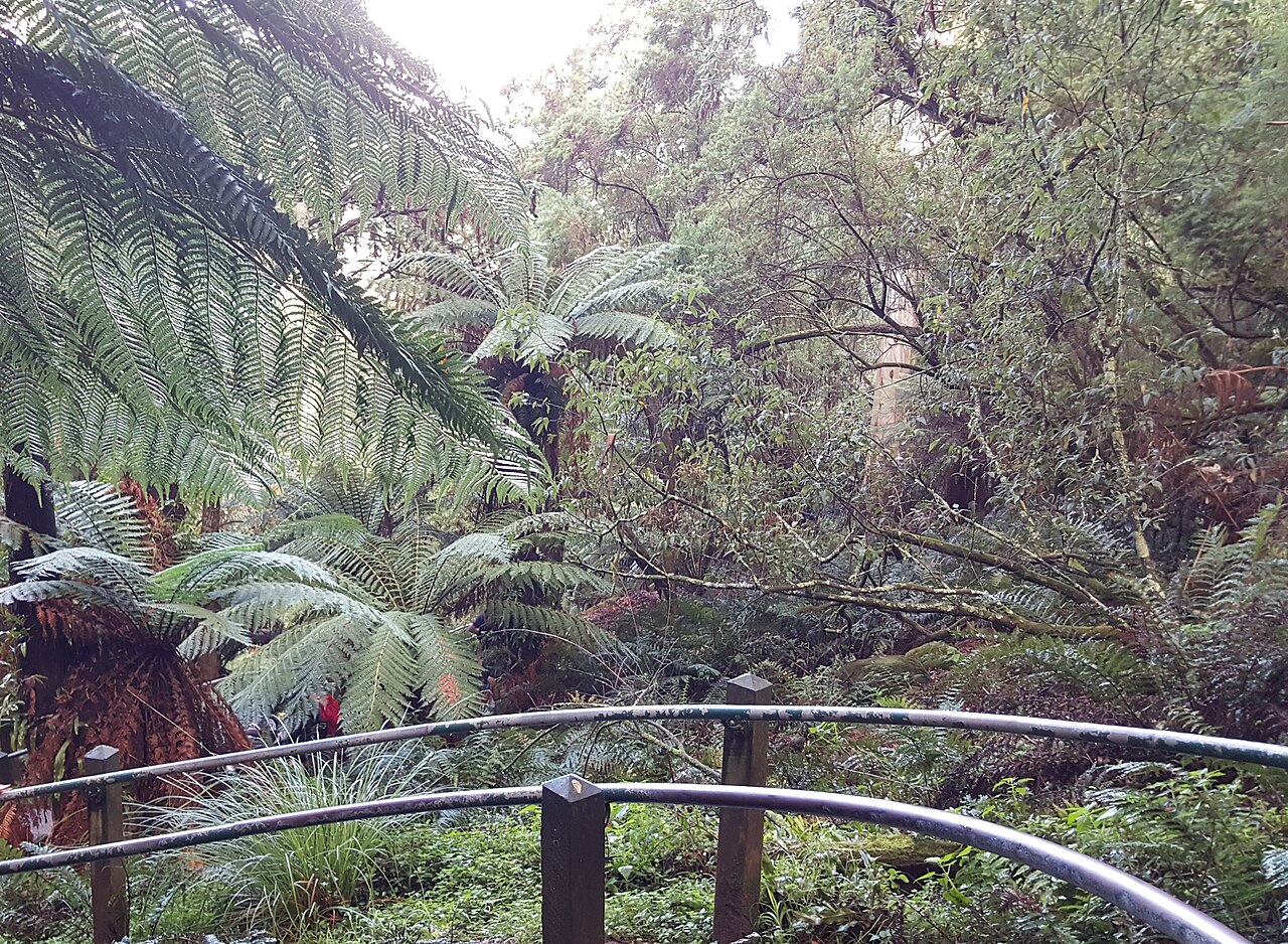
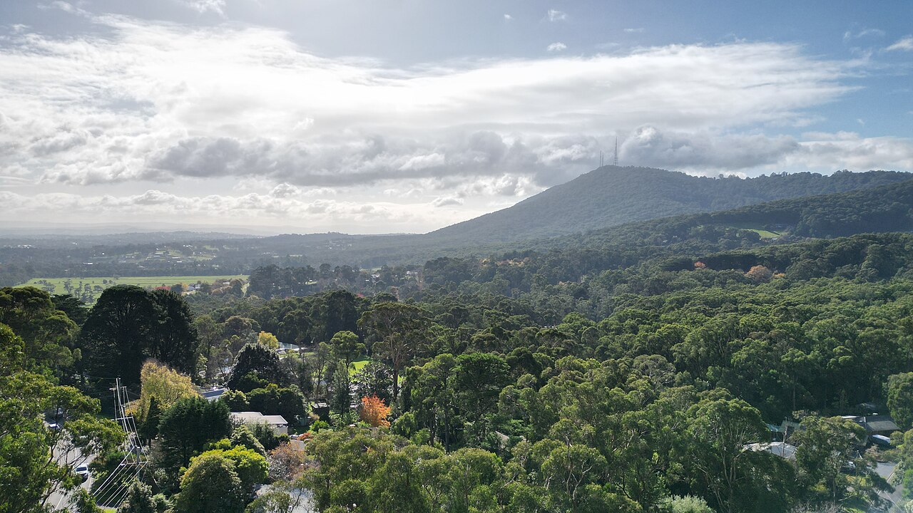
We checked every place on this page against at least two independent sources between 2 October 2026 and 3 October 2026: OpenStreetMap, council pages and government pages. Facilities and opening hours change, so check the official page before you go. The photos are illustrative, from Unsplash: they show the kind of place, not the places on this page.
Seen something out of date? Email [email protected] with the page link and what has changed, and we will check it again.
Sources
- Tormore Reserve: openstreetmap.org/28517620, knox.vic.gov.au/playgrounds-knox, knox.vic.gov.au/keeping-dog-knox, knox.vic.gov.au/outdoor-gym-equipment-knox
- Chandler Park: openstreetmap.org/5440345, knox.vic.gov.au/playgrounds-knox, knox.vic.gov.au/keeping-dog-knox
- Currawa Reserve: openstreetmap.org/330193090, knox.vic.gov.au/playgrounds-knox, knox.vic.gov.au/keeping-dog-knox
- Old Joe’s Creek Retarding Basin: openstreetmap.org/837501457, knox.vic.gov.au/bushland-reserves-knox
- Tim Neville Arboretum: openstreetmap.org/10844610, knox.vic.gov.au/tim-neville-arboretum, knox.vic.gov.au/playgrounds-knox
- Dandenong Ranges National Park (Ferntree Gully Picnic Ground / 1000 Steps): openstreetmap.org/9212909, parks.vic.gov.au/dandenong-ranges-national-park, parks.vic.gov.au/1000-steps-walk, knox.vic.gov.au/bushland-reserves-knox