Carlton’s story is Melbourne’s story compressed into a few square kilometres. From a grid of workers’ cottages in the 1850s to the Italian heart of the city by the 1960s, this suburb has reinvented itself more than once — and the layers are still visible if you know where to look.
The Early Years: Gold Rush Grid
Carlton was surveyed and laid out in the 1850s during Melbourne’s gold rush boom. The street grid — Lygon, Drummond, Rathdowne, Faraday, Elgin — was designed for workers’ housing, small and tightly packed. The Victorian terraces that line Drummond Street today date from this era, with their ornate iron lacework and bluestone footpaths. By the 1880s, Carlton was a dense, working-class suburb on the northern edge of the city.
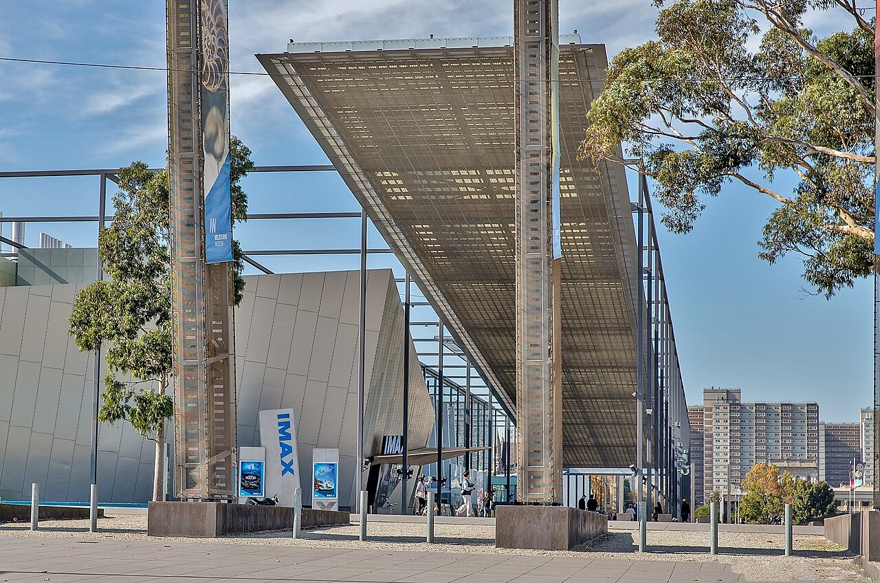
The Royal Exhibition Building in the Carlton Gardens was completed in 1880 for the Melbourne International Exhibition, and hosted the opening of Australia’s first Parliament in 1901. It’s now a UNESCO World Heritage site and one of the few surviving 19th-century exhibition halls in the world.
The Italian Wave: 1950s-1970s
The transformation that defined Carlton came after World War II. Italian immigrants — many from southern Italy and Sicily — settled in Carlton because it was cheap, close to work, and already had a small Italian community. By 1960, a quarter of Carlton’s population was Italian-born.
Lygon Street became the commercial heart of this community. Italian grocers, espresso bars, trattorias, and delis lined the strip. University Cafe (est. 1954), Brunetti (est. 1979), and Tiamo became institutions. The espresso machine arrived in Melbourne via Carlton’s Italian cafes, and the city’s coffee culture traces directly back to these Lygon Street counters.
The University Influence
The University of Melbourne, established in 1853 on Carlton’s western edge in Parkville, has shaped the suburb’s intellectual character for over 170 years. Students, academics, and the bookshops, pubs, and cheap eateries that serve them have been part of Carlton’s DNA since the beginning. RMIT’s expansion northward reinforced this connection. The Clyde Hotel on Cardigan Street and the John Curtin Hotel on Lygon Street are pubs where student politics and live music have mixed for decades.
Gentrification and Change
From the 1990s onward, Carlton followed the familiar Melbourne gentrification arc. Cheap rent attracted artists and creatives. Cafes replaced milk bars. Property prices climbed. Some of the Italian families who built the suburb were priced out. The terrace houses that workers once rented for modest sums became million-dollar properties.
The transformation wasn’t all loss. The cafe culture deepened, the food scene expanded beyond Italian, the streetscape was preserved rather than demolished, and Carlton Gardens remained one of the finest urban parks in Australia. But the cost was borne unevenly, and long-term residents carry justified frustration about what changed.
Carlton Today
In 2026, Carlton carries its history visibly. Victorian terraces sit alongside modern apartment buildings. Heritage Italian restaurants share Lygon Street with third-wave coffee roasters and Korean fried-chicken joints. The University of Melbourne still anchors the western edge, Carlton Gardens still provides the green lung to the east, and the trams still run along Swanston Street and Nicholson Street, just as they have for over a century.
FAQ
When did Lygon Street become “Little Italy”?
The Italian concentration on Lygon Street built through the 1950s and 1960s. By the early 1970s, the strip was firmly established as Melbourne’s Italian heartland, with restaurants, delis, and community events that defined the suburb’s identity.
Is the Royal Exhibition Building open to the public?
Yes, though access varies. The building hosts events, exhibitions, and markets throughout the year. The Carlton Gardens surrounding it are open 24/7 and are one of Melbourne’s best urban green spaces.
The Verdict
Carlton’s history is what gives it depth. Walk down Drummond Street and you’re walking through the 1880s. Eat on Lygon Street and you’re tasting the 1960s immigration wave. Grab a third-wave pour-over on Berkeley Street and you’re in 2026. Few Melbourne suburbs carry their past so visibly, and that layering is what makes Carlton more than just another inner-city postcode.
For how that history shapes the suburb today, see our Carlton neighbourhood guide and Carlton honest guide.
More on Carlton: Carlton Suburb Guide | Carlton for Families | Carlton Neighbourhood Guide
Explore More of Carlton
- Carlton Things To Do This Weekend
- Carlton Cheap Eats
- Carlton Rent Guide
- Carlton Date Night Guide
- Carlton Carlton For Retirees
- Carlton New Openings
- Carlton Things To Do
- Carlton Cost of Living
Nearby Suburbs Worth Checking
From Village Grid to Inner-City Archive
Carlton’s history is readable at street level. Its 1850s grid, narrow allotments, bluestone lanes, terraces, corner pubs, churches, schools and later apartment blocks show how Melbourne absorbed gold-rush growth, industrial work, migration, student life and heritage protection within a compact inner suburb.
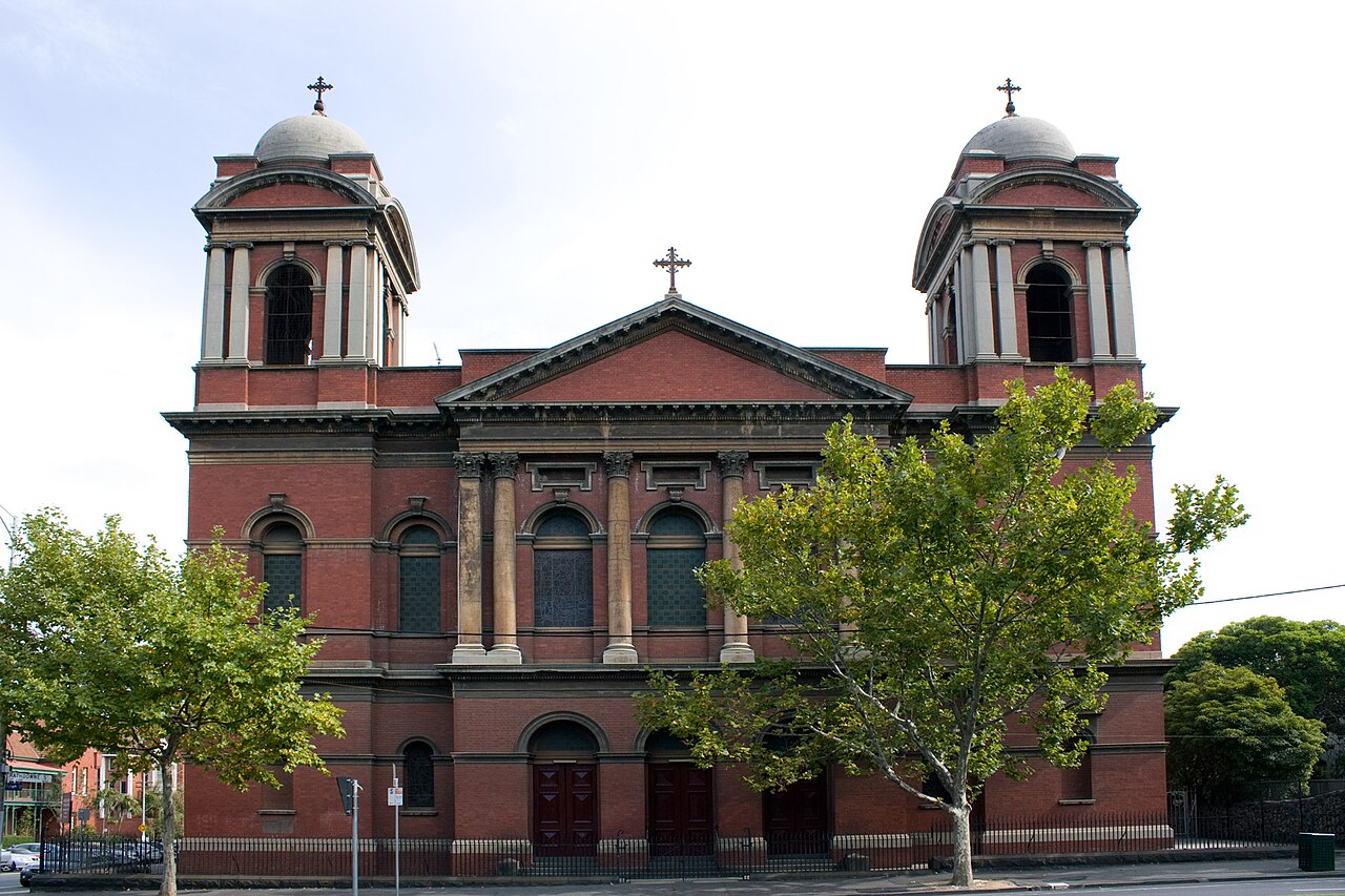
The suburb grew just north of the city when Melbourne was expanding rapidly after the gold rush. Early Carlton was practical rather than grand: workers’ cottages, small shops, stables, workshops and boarding houses supported people employed in the city, nearby factories and trades. The Royal Exhibition Building and Carlton Gardens added a civic and international layer in the late nineteenth century, especially after the 1880 Melbourne International Exhibition.
In the twentieth century, Carlton became strongly associated with Italian migration. Lygon Street’s cafes, grocers and restaurants turned the suburb into one of Melbourne’s best-known migrant precincts. That identity did not replace earlier layers; it sat on top of them. Carlton remained a place of students, renters, public housing residents, academics, medical workers, restaurateurs and long-term locals.
Data-Backed Historical Reading
The 2021 Census recorded Carlton’s population at 16,055, with a median age of 27. That is younger than Greater Melbourne’s broader profile and reflects the influence of nearby University of Melbourne, RMIT, hospitals and short-term rental housing. By comparison, the suburb of Melbourne had a median age of 29, so Carlton was still slightly younger than the central-city benchmark.
Housing data also explains the suburb’s historical form. Carlton’s average dwelling had 1.9 bedrooms, compared with 3.1 across Victoria. That gap is not just a lifestyle statistic; it reflects long-term subdivision, terraces, flats, student housing and apartments replacing or adapting nineteenth-century housing stock.
Car ownership tells the same story. Carlton’s average number of motor vehicles per dwelling was low by metropolitan standards, consistent with a walkable suburb close to trams, universities, hospitals, parks and the CBD. This helps explain why older street patterns survived: Carlton was built before car dependency, and much of it still works around walking, cycling and public transport.
Source: Australian Bureau of Statistics, 2021 Census QuickStats for Carlton, Victoria: https://www.abs.gov.au/census/find-census-data/quickstats/2021/SAL20495
Practical History Checklist
- Start at Carlton Gardens. Read the suburb from its formal edge: the Royal Exhibition Building, garden layout and museum precinct show Carlton’s civic role in colonial Melbourne.
- Walk the lanes behind the main streets. Bluestone lanes often reveal service routes, former stables, rear workshops and the working infrastructure hidden behind terrace frontages.
- Compare Lygon Street with Rathdowne Street. Lygon Street shows commercial and migrant food history; Rathdowne Street better preserves residential scale, local shops and terrace rhythms.
- Look for building width. Narrow frontages usually point to nineteenth-century subdivision, while larger apartment blocks show later consolidation and redevelopment.
- Check corner buildings. Hotels, shops and former institutions often mark old walking routes and neighbourhood meeting points.
- Use heritage overlays before assuming age. A building may look old but be altered; another may look plain but have high local significance.
- Match census data to streetscape. Young median age, small dwellings and low car ownership make sense when seen beside student housing, flats, trams and compact terraces.
What to Notice on Lygon Street
Lygon Street is not only a restaurant strip. It is evidence of postwar migration, small business formation and public life. Italian Carlton became visible through food, signage, clubs, cinemas, churches and street sociability. Its history is practical: migrants built businesses close to home, near customers, and near institutions that generated daily foot traffic.
Today, the strip is more commercial and less exclusively Italian, but its reputation still shapes Melbourne’s identity. Carlton shows how migrant precincts evolve: first as settlement infrastructure, then as cultural destination, then as heritage and hospitality brand.
FAQ
Why is Carlton historically important to Melbourne?
Carlton compresses major Melbourne themes into one suburb: gold-rush expansion, terrace housing, migrant enterprise, university growth, public housing, heritage conservation and inner-city gentrification.
Is Carlton’s Italian identity still historically accurate?
Yes, but it should be understood as one major layer rather than the whole story. Italian migration strongly shaped Lygon Street and Carlton’s public image, while earlier working-class and later student histories remain visible.
What is the best way to study Carlton’s history on foot?
Walk from Carlton Gardens to Lygon Street, then into the residential lanes around Rathdowne, Drummond and Canning streets. Compare civic buildings, commercial strips, terraces, flats and laneways.