Coburg’s transport connections are one of the suburb’s strongest selling points. Three train stations on the Upfield line, a tram route running the length of Sydney Road, and the Upfield Bike Path make this one of the better-connected inner-north suburbs.
Transport Scorecard
| Mode | Available | Quality | Notes |
|---|---|---|---|
| Train | Yes | Good | Three stations on the Upfield line |
| Tram | Yes | Regular | Route 19 on Sydney Road to CBD |
| Bus | Yes | Average | East-west connections, SmartBus 903 |
| Cycling | Yes | Very good | Upfield Bike Path and Merri Creek Trail |
| Driving | Yes | Parking tough | Competitive on Sydney Road, permit zones |
Getting to the CBD
By train: 20-25 minutes from Coburg station to Flinders Street via the Upfield line. Every 10-15 minutes during peak, thinning to every 20 minutes off-peak and weekends.
By tram: Route 19 runs along Sydney Road. About 35-45 minutes to Elizabeth Street in the CBD. Every 6-8 minutes peak, 12-15 minutes off-peak. Slower than the train but more convenient if you live directly on the strip.
By bike: The Upfield Bike Path runs alongside the train line all the way to the city. Flat, separated from traffic, and takes about 30-40 minutes. A decent bike pays for itself in saved Myki fares within four months.
Train Stations
Coburg has three Upfield line stations:
- Coburg station — The main station, on Munro Street. Best for access to the central Sydney Road strip
- Moreland station — Between Coburg and Brunswick, on Moreland Road. Useful for the southern end of the suburb
- Batman station — Northern end, near Bell Street. Named after the historical figure John Batman, not the caped crusader
The Upfield line runs to Flinders Street via the City Loop. Service is decent during peak but has a well-earned reputation for weekend delays. The single-track section north of Gowrie can add delays during peak.
Tram
Route 19 runs along Sydney Road — the full length of Coburg’s main strip — connecting to Brunswick and the CBD. It’s not the fastest tram in the network but it’s direct and frequent. The main frustration: someone will inevitably park in the tram lane on Sydney Road, creating delays.
Bus Routes
- Route 513/514 — East-west connections to neighbouring suburbs
- Route 527 — Connects to Broadmeadows
- Route 561 — Links to eastern suburbs
- SmartBus 903 — Genuinely useful for east-west travel to Heidelberg and the eastern suburbs without backtracking through the CBD
Cycling
Coburg is one of Melbourne’s better cycling suburbs:
- Upfield Bike Path — Sealed, separated from traffic, runs alongside the train line to the CBD. The primary cycling commute route
- Merri Creek Trail — Runs along Coburg’s eastern edge, connecting to Brunswick East, Northcote, and eventually the Yarra. More scenic, slightly less direct for commuting
- Coburg Velodrome — Community cycling hub with track sessions
The terrain is flat, which makes cycling practical for daily use rather than just recreation.
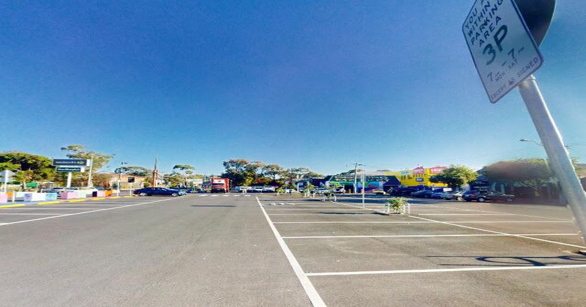
Driving and Parking
Driving in Coburg has real frustrations:
- Sydney Road gets congested, especially in the sections shared with trams
- Bell Street is a major arterial that’s busy during peak
- Street parking near Sydney Road and the stations is permit-controlled and competitive
- Weekend parking on Sydney Road is a blood sport — use the side streets and walk 2 minutes
- CBD parking costs $18-$25 if you drive in after 9am
If your rental doesn’t include a car space, budget time for parking searches. If you can avoid owning a car, the three train stations and tram route make it genuinely feasible.
Myki Costs
| Fare | Cost |
|---|---|
| Daily cap (full fare) | $10.60 |
| Weekly cap | $53 |
| Monthly estimate (5 days) | $210-$220 |
FAQ
How long does it take to get from Coburg to the CBD? By train: 20-25 minutes. By tram: 35-45 minutes. By bike: 30-40 minutes on the Upfield path.
How many train stations does Coburg have? Three — Coburg, Moreland, and Batman — all on the Upfield line.
Do I need a car in Coburg? Not for daily commuting or local errands. Three train stations, a tram route, and cycling infrastructure cover most needs. A car helps for weekend trips and some errands, but it’s genuinely optional.
Is the Upfield line reliable? During peak hours, generally yes. Weekends and evenings, the frequency drops and delays are more common. The single-track section north of Gowrie causes occasional issues.
The Verdict
Coburg gets a solid B+ for transport. Three Upfield line stations is a significant advantage over most inner-north suburbs. The Route 19 tram provides a convenient alternative along Sydney Road. And the Upfield Bike Path is one of Melbourne’s best cycling commute routes. The main weakness is the Upfield line’s weekend frequency and the parking situation around Sydney Road. For commuters, Coburg’s transport connections are a genuine draw.
More Coburg: Coburg Suburb Guide · Coburg Cost of Living · Coburg Honest Guide
Explore More of Coburg
- Coburg History
- Coburg Things To Do This Weekend
- Coburg Cheap Eats
- Coburg Rent Guide
- Coburg Date Night Guide
- Coburg New Openings
- Coburg Things To Do
- Coburg Rent Report
💬 Discussion
Join the conversation — no account needed