Neighbourhood Guide to Elsternwick
Elsternwick is small enough to walk end-to-end in 20 minutes but has distinct pockets that feel genuinely different. The strip, the residential streets, the park precinct, the Nepean Highway edge — each attracts a different crowd and offers a different daily life. Here’s how to read the suburb from the inside.
THE STREETS THAT MATTER
Glen Huntly Road — The Spine
Glen Huntly Road runs east-west through Elsternwick and holds everything: the cafes, the restaurants, the shops, the station. The stretch between Elsternwick station and Orrong Road is the commercial heart. Pillar of Salt anchors the brunch scene. Glick’s does the bakery run. The Elsternwick Hotel holds down the pub corner.
Living on Glen Huntly Road itself means noise — tram 67 rattles through, and weekend foot traffic starts early. One street back and the volume drops dramatically.
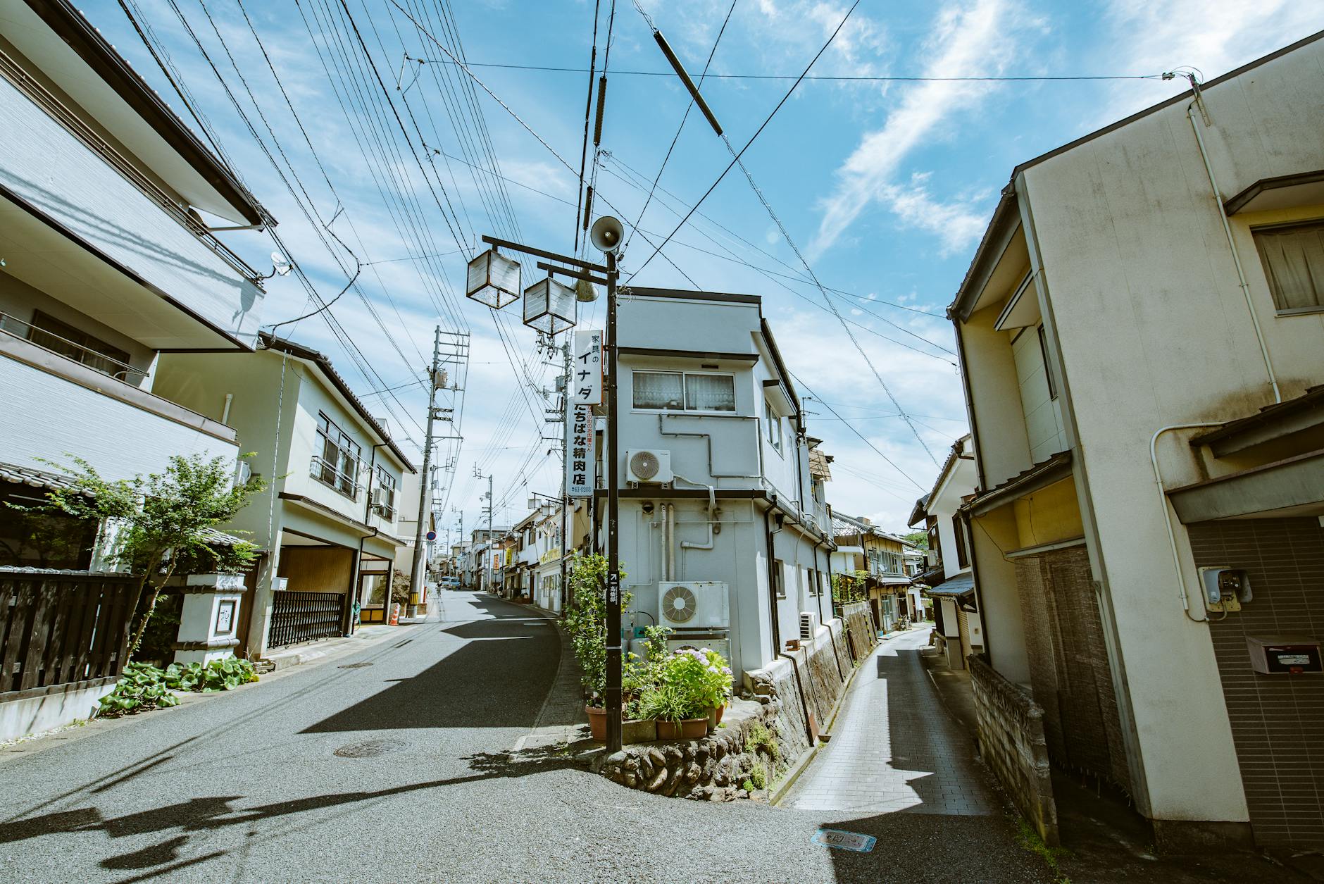
Riddell Parade — The Quiet Side
Riddell Parade runs parallel to Glen Huntly Road one block south and is Elsternwick’s most underrated residential street. Tree-lined, wide footpaths, period homes with front gardens that people actually maintain. Walking distance to the strip without the noise. This is where established families settle and stay for decades.
Orrong Road — The Eastern Edge
Orrong Road forms Elsternwick’s eastern boundary with Caulfield. It’s a busier road — traffic flows north-south — but the streets immediately west of it are some of the suburb’s quietest. The housing here tends toward larger blocks, interwar homes, and the occasional heritage property that draws renovators.
Nepean Highway — The Western Border
Nepean Highway is the suburb’s practical edge. It’s a traffic corridor, not a lifestyle street, but the proximity to it means some Elsternwick properties sit at a discount. The trade-off: road noise and a less walkable feel. The upside: direct bus routes south to Brighton and north to the city.
The Park Precinct — Elsternwick Park
Elsternwick Park on St Kilda Street anchors the suburb’s green space. Ovals, a playground, walking paths around the lake, and Sails by the Lake restaurant. The streets surrounding the park — particularly along St Kilda Street — carry a premium because of the outlook, but the daily quality of life justifies it for families and dog owners.
WHICH POCKET SUITS WHO
| Who you are | Where to look |
|---|---|
| Young professional | Near Glen Huntly Road station precinct — walk to everything |
| Family with kids | Riddell Parade area or streets around Elsternwick Park |
| Retiree downsizing | Apartment on Glen Huntly Road with flat walking access |
| Investor | Units near the station for rental yield |
| Renovator | Interwar homes west of Orrong Road |
The Border Zones
Where Elsternwick meets Balaclava to the north, the energy shifts — Carlisle Street’s food scene picks up a grittier, more eclectic vibe. The border with Gardenvale to the west is quieter and cheaper per square metre. South toward Brighton, the streets get wider and the houses get larger, but you lose the village walkability that makes Elsternwick work.
More on Elsternwick: Elsternwick Living Guide · Transport Guide · Cost of Living
Nearby suburbs: Balaclava · Brighton · Caulfield South · Gardenvale
💬 Discussion
Join the conversation — no account needed