Getting Around Elsternwick — The Honest Version
Elsternwick’s transport story starts and ends with the train. The Sandringham line puts you at Flinders Street in about 20 minutes, and the station sits right on Glen Huntly Road, which means most residents can walk to a train in under 10 minutes. For a suburb 9 kilometres from the CBD, that’s a genuine advantage.
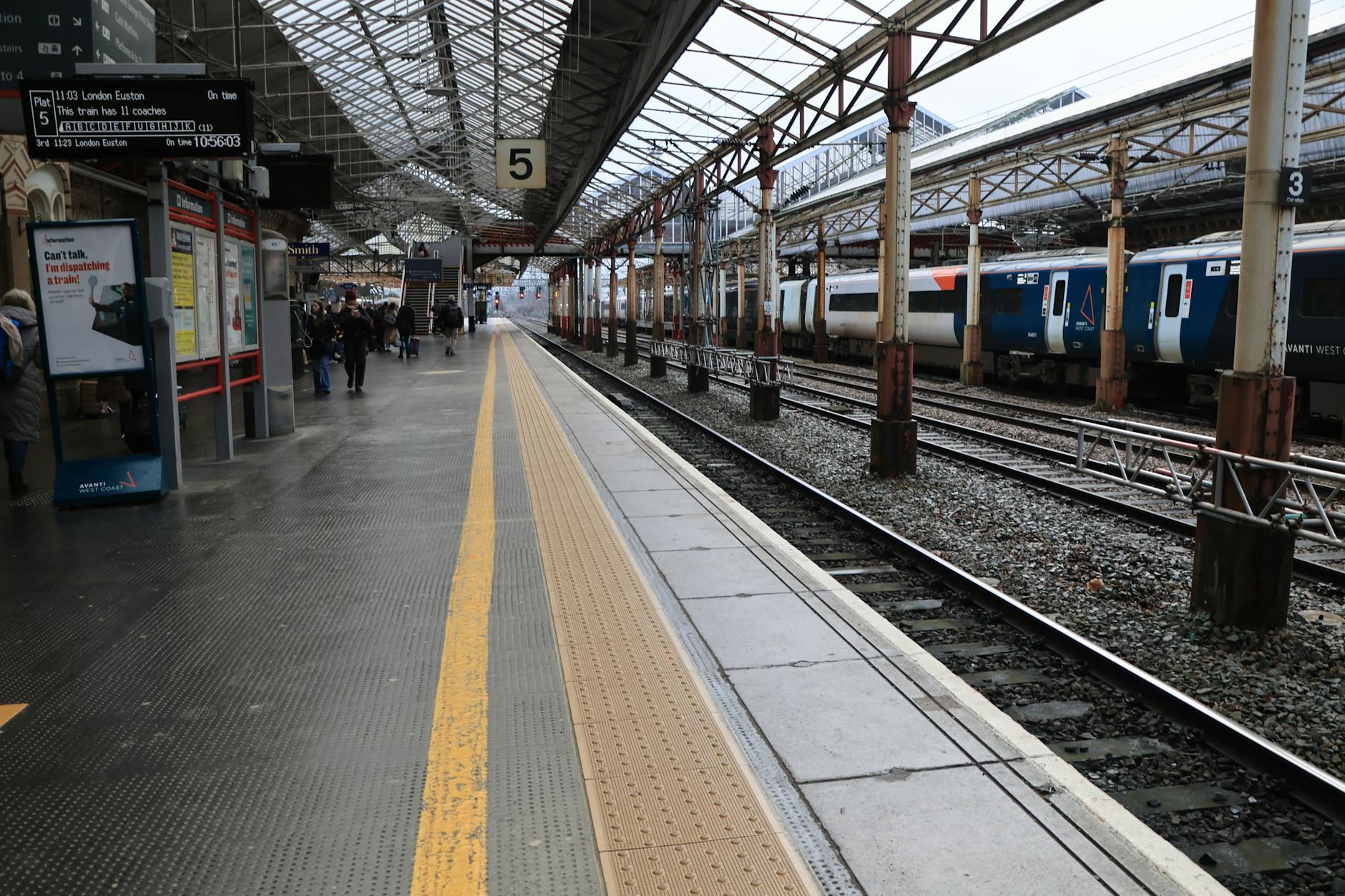
Train — Elsternwick Station (Sandringham Line)
Elsternwick station is on the Sandringham line. Trains to Flinders Street run every 10–12 minutes during peak, every 15–20 minutes off-peak. The journey takes about 20 minutes door-to-platform.
The station itself is modest — no lifts on the older platform side, which is worth noting for accessibility. The station precinct on Glen Huntly Road has been improved in recent years, but it’s still a commuter station, not a destination.
Key connections:
- Flinders Street — 20 minutes
- Richmond — 15 minutes (change here for most other lines)
- Sandringham — 10 minutes south
- Southern Cross — 25 minutes (via city loop)
Tram — Route 67
Tram 67 runs along Glen Huntly Road, connecting Carnegie to the east with St Kilda Beach to the west. It’s useful for lateral trips — getting to Carnegie for shopping, or heading to Acland Street without the car. Frequency is every 8–12 minutes during peak, dropping to every 15–20 minutes evenings and weekends.
Bus Routes
Bus 623 runs along Nepean Highway connecting Brighton to Caulfield station. Route 246 connects Elsternwick to Clifton Hill via St Kilda and the CBD — it’s a slow ride but covers ground no train line does.
Cycling
Elsternwick is flat, which helps. The ride to St Kilda Beach is about 15 minutes. The ride to the CBD via the bay trail is 40–45 minutes and genuinely scenic. Local streets are quiet enough for cycling, though Glen Huntly Road itself is not ideal during peak traffic.
Driving and Parking
Nepean Highway provides the main north-south driving corridor. Street parking on Glen Huntly Road is timed (1–2 hours). Residential streets have mostly unrestricted parking, though permit zones exist closer to the station. Weekend parking near the shops is competitive but manageable if you’re willing to walk a block.
The Commute Verdict
Elsternwick’s 20-minute train to the city is its transport trump card. Tram 67 adds east-west flexibility. Cycling to the bay is a genuine lifestyle option. The suburb works without a car for most daily needs, though a car helps for weekend trips and the grocery run.
More on Elsternwick: Elsternwick Suburb Guide · Cost of Living · Living Guide
Nearby suburbs: Balaclava · Brighton · Caulfield South
💬 Discussion
Join the conversation — no account needed