South Yarra is one of Melbourne’s best-connected suburbs. Between the train station, three tram routes, and the Capital City cycling trail, you can genuinely live here without a car — and many residents do. Here’s the practical breakdown.
Train — South Yarra Station
Location: 1 Chapel Street (corner of Toorak Road) Lines: Sandringham, Frankston, Cranbourne, Pakenham
South Yarra station is the suburb’s primary transport hub and one of Melbourne’s busiest suburban stations. Four train lines converge here, giving you direct access to the CBD and the south-eastern suburbs.
To the CBD: About 10 minutes to Flinders Street. During peak hours, trains run every 3-5 minutes across the combined lines. Off-peak frequency is 10-15 minutes.
To the south-east: Frankston line serves Caulfield, Moorabbin, Frankston. Cranbourne and Pakenham lines serve Dandenong, Berwick, and beyond. Sandringham line serves Balaclava, Brighton, and Sandringham.
Station access: The station has been upgraded with ramps, lifts, and level-access platforms. It gets crowded at peak hour — arrive a few minutes early if you need a seat.
Note: South Yarra station was controversially excluded from the Metro Tunnel project. The new Anzac Station on St Kilda Road (opening in coming years) will be the nearest Metro Tunnel stop.
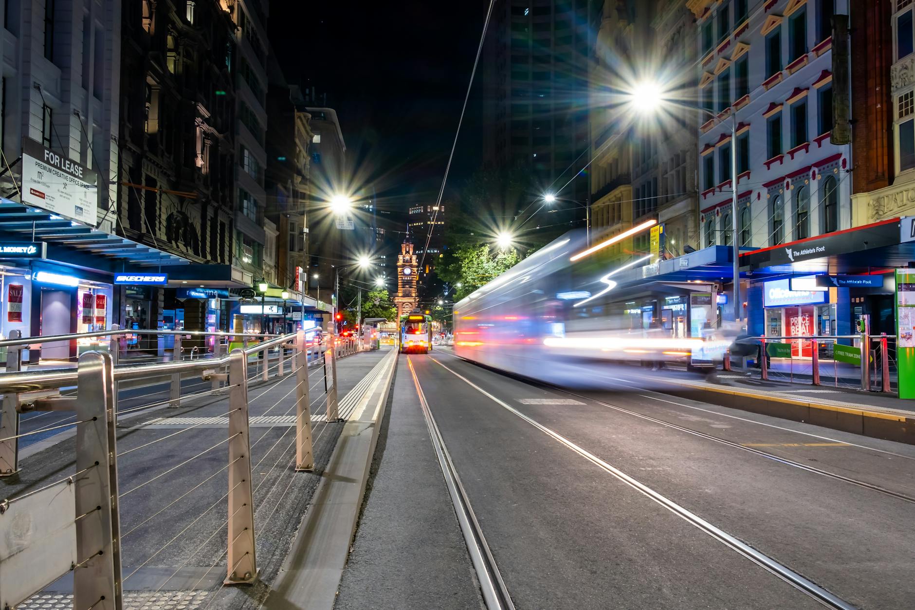
Trams — Three Routes Through the Suburb
South Yarra has three tram routes serving different corridors:
Route 8 — Runs along Toorak Road connecting South Yarra to the CBD via Domain Road and St Kilda Road. Useful for reaching the Arts Precinct, Flinders Street, and the city centre. Frequency: every 8-12 minutes peak.
Route 72 — Runs along Commercial Road connecting to Camberwell in the east and the CBD via Bourke Street in the west. Stops near Fawkner Park and the Prahran Market. Frequency: every 8-12 minutes peak.
Route 78 — Runs along Chapel Street from North Richmond through Prahran and Windsor to Balaclava. The main public transport spine of Chapel Street. Useful for getting between South Yarra’s strip and the surrounding suburbs. Frequency: every 8-10 minutes peak.
Tram tip: The Chapel Street 78 tram gets crowded on weekends, particularly near the station. Walking is often faster for trips within the suburb.
Cycling — The Best Commute Option
South Yarra’s flat terrain and proximity to the Yarra River trail make it excellent for cycling.
Capital City Trail: The main cycling artery. Access from the Chapel Street bridge or Anderson Street near the MCG. Flat, sealed, and separated from traffic, it runs along the Yarra River directly into the CBD. The ride from South Yarra to Flinders Street takes about 20 minutes.
Bike lanes: Chapel Street, Toorak Road, and Domain Road have marked bike lanes. Quality varies — Chapel Street’s lanes work about 60% of the time, with ride-share vehicles occupying the rest.
Bike parking: Secure storage at South Yarra station for regular commuters. Bike racks along Chapel Street and Toorak Road for shorter stops.
Melbourne Bike Share: Docked stations near the Botanic Gardens and along St Kilda Road.
Driving and Parking
The honest version: driving in South Yarra is fine for getting to other suburbs. Parking within South Yarra is a blood sport.
Street parking: Metered on Chapel Street and Toorak Road (fills by 10am on Saturdays). Side streets off the main strips have 1-2 hour limits during business hours. Permit zones on residential streets require council permits.
Car parks: The Jam Factory car park (behind 289 Chapel Street) charges about $8/hour. The Como Centre car park on Chapel Street is an alternative. Budget $15-25 for an evening.
Punt Road warning: Avoid between 7:30-9:30am and 4:30-6:30pm. It’s one of Melbourne’s worst traffic bottlenecks and will add 20-30 minutes to any journey.
Ride-share: Pick up and drop off on Toorak Road rather than Chapel Street for less traffic and lower surge pricing. Late-night surge on Saturday between 11pm-2am makes ride-share from Chapel Street expensive ($35-50 to the CBD).
Getting to Key Destinations
| Destination | Best Mode | Time |
|---|---|---|
| Melbourne CBD | Train | 10 min |
| Prahran | Walk or tram 78 | 5-10 min |
| Richmond | Train (1 stop) | 3 min |
| St Kilda Beach | Tram 8 then 16 | 25 min |
| Melbourne Airport | SkyBus from Southern Cross | 45-60 min |
| Chadstone | Bus 605 then train | 30 min |
FAQ
What train lines stop at South Yarra? Sandringham, Frankston, Cranbourne, and Pakenham lines.
What trams run through South Yarra? Route 8 (Toorak Road), Route 72 (Commercial Road), and Route 78 (Chapel Street).
Can I live in South Yarra without a car? Yes, comfortably. The combination of train, tram, and cycling infrastructure covers most daily needs. A car helps for weekend trips to the beach or outer suburbs.
How far is South Yarra from the CBD? About 4km. Ten minutes by train, 20-25 minutes by tram, 20 minutes by bike.
More South Yarra: Suburb Guide | Cost of Living | Neighbourhood Guide
Explore More of South Yarra
- South Yarra History
- South Yarra Late Night Eats
- South Yarra Things To Do This Weekend
- South Yarra Cheap Eats
- South Yarra Rent Guide
- South Yarra Suburb Roast
- South Yarra Date Night Guide
- South Yarra Live Music
💬 Discussion
Join the conversation — no account needed