Correction (2 October 2026): an earlier version of this page was produced by a template. It listed 11 venues on streets such as “Creek Road” and “Victoria Terrace”, with price ranges, seat counts and “insider tips” that we could not stand behind, gave them the postcode 3096 (Wollert’s is 3750), and quoted a distance and a drive time with no source. It has been rewritten from scratch. Every shop and restaurant with its own heading below was checked against its own current information and a second, independent source on 2 October 2026; council, transport and Census facts come from the official pages listed under Sources.
Wollert is a suburb in Melbourne’s north, in the City of Whittlesea, which calls the Epping North and Wollert area a growth corridor. Victorian Places describes its western and eastern boundaries as the Merri and Darebin Creeks, with suburban Epping on its southern boundary and rural Donnybrook to the north. This profile sticks to what can be checked from a desk: the council’s own pages, the timetable, the 2021 Census and the places’ own websites.
Fast facts: postcode 3750; council: City of Whittlesea; population 24,407 at the 2021 Census. Victorian Places puts Wollert 25 km from central Melbourne.
Origin of the name: Wollert began as a parish name. Victorian Places says it “is thought to be derived from an Aboriginal expression describing a place inhabited by possums”. The exact expression is not clearly documented in that source.
The shape of it: Epping Road is the old spine. Victorian Places records a ribbon village along it, and a post office, sports reserve and CFA station near the corner of Epping and Bridge Inn Roads. Its dairy farms “continued until the 1960s”. The Hume Freeway runs down the west side, and the Craigieburn grasslands reserve sits in the south-west corner, “sandwiched between the Freeway and the Merri Creek”. Victorian Places lists a census population of 509 for 2011. The ABS counted 24,407 people at the 2021 Census, though the two counts may not use the same boundary.
Getting around
Wollert has no train station. The two bus routes we checked run south to Epping Station, which Transport Victoria lists on the Mernda line.
- Route 358, Epping Station to Wollert via Epping Plaza SC. Transport Victoria’s route page starts the Wollert end at Evolve Esp/Contempo Bvd, runs past Northside Park on Northside Drive, and finishes at Epping Station/Cooper St.
- Route 357, Wollert West to Thomastown Station via Epping Station. That is the route’s name on Transport Victoria’s site. Its stop list puts three stops in Wollert, all on Edgars Road: Edgars Creek Secondary College, Steen Ave and Eaststone Ave. It then runs through Epping, stopping at Epping Station and Epping Plaza SC, and on to Thomastown Station.
Pacific Epping’s own visitor page lists routes 357 and 358 among the buses that stop at the shopping centre.
The rail question: the City of Whittlesea says the 2002 Epping North Strategic Plan “identified a planned public transport corridor that included a train line to Wollert”. Wollert Rail is now one of the council’s advocacy priorities. Ahead of the state election, it is calling for “the immediate release of the Wollert Transport Corridor Feasibility Study” and for the corridor to be protected with a Public Acquisition Overlay. No source we found gives a date for a line.
Buses are changing: on 6 February 2026 the Victorian Government opened consultation on a new Wollert and Epping North bus network. It proposed a new service in eastern Wollert “to serve Quarry Hill, Eucalypt Estate and areas north of Craigieburn Road”, and a realigned 357 to better serve western Wollert around Yann Drive. The same release said the new network would be introduced “next year”; the release is dated February 2026, and we found no start date.
For: two routes link Wollert to Epping Station and Pacific Epping, and a bigger network has been proposed. Against: there is no train, and the rail corridor is still an advocacy campaign, not a funded project. We have not quoted frequencies or travel times; check the journey planner.
Who lives here

At the 2021 Census, the ABS counted 24,407 people in Wollert, with a median age of 30, against 38 across Victoria. India was the most common country of birth after Australia: 4,559 residents, or 18.7 per cent, were born there, against 4.0 per cent across Victoria.
At the 2021 Census the median weekly rent in Wollert was $391. That figure is five years old, so treat it as a baseline, not a quote.
For: a young population by median age, with a large Indian-born community. Against: every figure here is from 2021, and a suburb growing this fast changes between counts.
Parks and places
- Allumba Park, 155W Highpark Drive. The City of Whittlesea lists it as a newly fenced, off-leash dog park with a quiet dog zone, shelters, drinking fountains and lighting.
- Aberfeldy Park Conservation Area, 1M Wimmera Crescent. The council says it has stony knolls that can be viewed from a boardwalk crossing the park.
- Craigieburn grasslands reserve, in the south-west corner between the Hume Freeway and the Merri Creek, per Victorian Places.
- Wollert Community Centre, 525 Epping Road. The council hires out its main hall, which seats 100, and the site has tennis courts you can book. The council describes it as sitting “within a rapidly developing growth zone”.
- The tip: the council names Heidelberg Materials (Wollert landfill), 55 Bridge Inn Road, as residents’ closest rubbish tip. It is privately owned. The council lists it as open 7am to 4.30pm on weekdays and 7am to 2.45pm on Saturdays, closed on Sundays. The council says the hours can change without notice, and the operator’s own page lists slightly later closing times, so check Heidelberg Materials’ page before you go.
For: a fenced off-leash dog park, a conservation area with a boardwalk and a grasslands reserve by the Merri Creek. Against: the council’s park list does not give a size or full facility list for every reserve, so check a park’s own page before you plan around it.
Shopping and eating
The shops we could verify inside Wollert are small. OpenStreetMap places a grocer, a pizza shop and an Indian restaurant side by side on Steen Avenue, at Nos. 40-42, 44 and 46. The third is mapped as Lucky Tasty Food at No. 46, and the Everything Indian directory lists it there too; we found no working website or menu of its own to quote, so it has no section below.
A larger centre is planned. Villawood Properties announced in October 2025 that “A Coles supermarket, 25 specialty stores, a 120-place childcare centre and medical, health and wellness precinct” would anchor a town centre in its Rathdowne estate. It said construction was “slated to start in May 2026”. We could not confirm from a primary source whether building has started.
IGA Local Grocer Wollert — 42 Steen Avenue, Wollert VIC 3750

A grocer on the Steen Avenue strip. IGA’s own store page lists it at 42 Steen Avenue, open 8am to 9pm every day, and IGA Rewards lists the same store as “IGA Local Grocer Wollert Plus Liquor”.
For: inside the suburb, with long hours seven days. Against: we have not checked its range or prices; for a bigger centre, routes 357 and 358 run to Pacific Epping.
Staple Pizza — 44 Steen Ave, Wollert VIC 3750

A pizza shop next door to the grocer. Its own ordering site lists a small margherita (red sauce, mozzarella, basil and olive oil) at $10.00; a large costs more. When we checked, its specials listed two large pizzas from its staples or classics ranges for $40 all week, and the menu had a chicken parma with fries and salad at $20.00.
For: a $10.00 small margherita and a two-pizza deal, a short walk from the grocer. Against: these are online ordering prices, and they can change; check before you order.
Famous Tandoori Indian Cuisine — 12 Matilda Ave, Wollert VIC 3750

An Indian restaurant on Matilda Avenue. Its own site gives the address as 12 Matilda Ave, Wollert, and when we checked it listed that day’s hours as 4.30 pm until midnight. The Australian Good Food Guide lists it at the same address. Our Indian food guide for Wollert has its menu prices, checked against its own ordering site.
For: an Indian restaurant inside the suburb, open until midnight on the day we checked. Against: its site shows only the current day’s hours, so check before you go.
Pacific Epping — 571-583 High St, Epping VIC 3076
The shopping centre on the 357 and 358 bus routes, in neighbouring Epping. Its own site gives the address as 571-583 High St, Epping, and lists BIG W, Kmart and UNIQLO among its store highlights. Wikipedia places it on the corner of High Street and Cooper Street, and notes that it was called Epping Plaza until 2013. That older name survives in the 358’s route name, “via Epping Plaza SC”. The centre’s visitor page says Mernda line passengers can get off at Epping Station and walk to the centre.
For: BIG W, Kmart and more, one bus ride from Wollert. Against: it is in Epping, not Wollert.
Schools and services
Government schools in the suburb include Wollert Primary School, 131 De Rossi Boulevard, and Wollert Secondary College, 222 Highpark Drive. The Victorian Government’s schools directory lists the secondary college as opened on 1 January 2023. Victorian Places records that the original Wollert state school, opened in 1877, closed in 1994. For zones and enrolment, go to the school, not a ranking site.
The City of Whittlesea’s Civic Centre is at 25 Ferres Blvd, South Morang.
If you move here, know:
- Your council is the City of Whittlesea, and the closest tip it names is the Wollert landfill on Bridge Inn Road.
- Routes 357 and 358 run to Epping Station on the Mernda line; a train to Wollert is a council campaign, not a project with a date.
- The Census figures here are from 2021, and the suburb has been growing fast since.
Quick answers
What is the postcode for Wollert?
- The council lists the Wollert Community Centre at 525 Epping Road, Wollert 3750.
Which council is Wollert in?
The City of Whittlesea. The council runs the Wollert Community Centre and lists Wollert parks such as Allumba Park and Aberfeldy Park Conservation Area.
Does Wollert have a train station?
No. Bus routes 357 and 358 connect Wollert to Epping Station on the Mernda line. The City of Whittlesea is campaigning for Wollert Rail and wants the Wollert Transport Corridor Feasibility Study released.
What is the population of Wollert?
24,407 people at the 2021 Census, with a median age of 30. Of them, 18.7 per cent were born in India.
Is there a shopping centre in Wollert?
The places we verified inside Wollert are small: the Steen Avenue shops include IGA Local Grocer Wollert at No. 42. Villawood Properties says a Coles-anchored town centre is planned for its Rathdowne estate. Routes 357 and 358 stop at Pacific Epping.
Where is the Wollert tip?
The City of Whittlesea names Heidelberg Materials (Wollert landfill), 55 Bridge Inn Road, as residents’ closest rubbish tip. It is privately owned and closed on Sundays.
How we checked
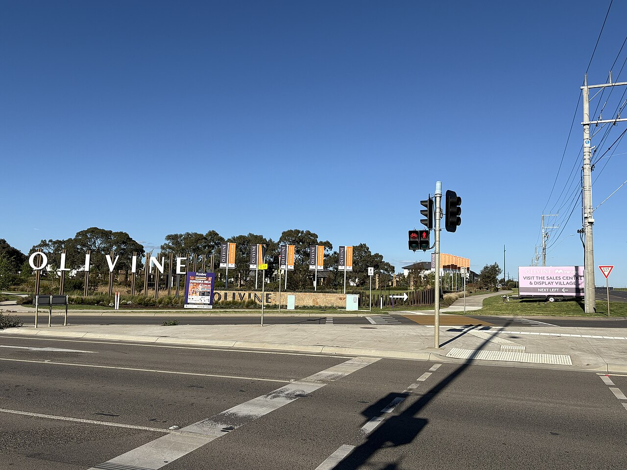
On 2 October 2026 we read each source ourselves, by raw page download or through a text reader for pages that only render in a browser, and copied the supporting words into our claims ledger. Population, age, country of birth and rent are from the ABS 2021 Census QuickStats for the Wollert suburb (SAL22820). Route names and stops are from Transport Victoria’s route pages. Parks, the community centre, the landfill and the rail campaign are from the City of Whittlesea’s own pages; the landfill operator’s hours are from Heidelberg Materials’ own page. History and the boundary description are from Victorian Places. Every shop and restaurant with its own heading was confirmed at its own website or store page and at a second, independent source (OpenStreetMap, IGA Rewards, Zest, the Australian Good Food Guide or Wikipedia). Prices are copied from Staple Pizza’s own ordering site. The photos are illustrative, from Unsplash: they are not pictures of Wollert or of the businesses named.
Seen something out of date? Email [email protected] with the page link and what has changed, and we will check it again.
Sources
- Population, age, country of birth, rent: ABS 2021 Census QuickStats, Wollert
- Boundaries, name, history: Victorian Places, Wollert
- Route 358: Transport Victoria; route 357: Transport Victoria; Epping Station
- Bus network consultation: Premier of Victoria, 6 February 2026
- Wollert Rail: City of Whittlesea
- Parks: City of Whittlesea, local parks and reserves
- Community centre: City of Whittlesea; landfill: City of Whittlesea, Heidelberg Materials; Civic Centre address: City of Whittlesea
- Rathdowne town centre: Villawood Properties, 24 October 2025
- IGA Local Grocer Wollert: IGA, IGA Rewards, OpenStreetMap
- Staple Pizza: staplepizza.com.au, Zest, OpenStreetMap
- Lucky Tasty Food: OpenStreetMap, Everything Indian
- Famous Tandoori: famoustandoori.com.au, AGFG
- Pacific Epping: pacificepping.com.au, getting here, Wikipedia
- Schools: Wollert Primary School, Wollert Secondary College, Victorian Government schools directory